
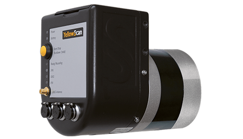
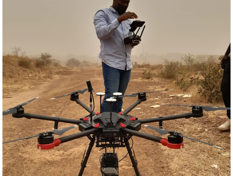
Rudan Currently boast of its LiDar Mapping Drones. YellowScan Surveyor is a Velodyne VLP-16-based UAV LiDAR system. YellowScan Surveyor provides a 360° Field of View with its Velodyne VLP-16 laser scanner. Applanix APX15 single board GNSS-Inertial solution for its highly accurate position and orientation direct georeferencing.
5cm (2")
50m (160ft)
4cm (1.5")
1.6kg (3.5lbs)
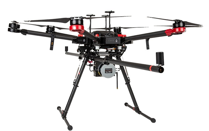
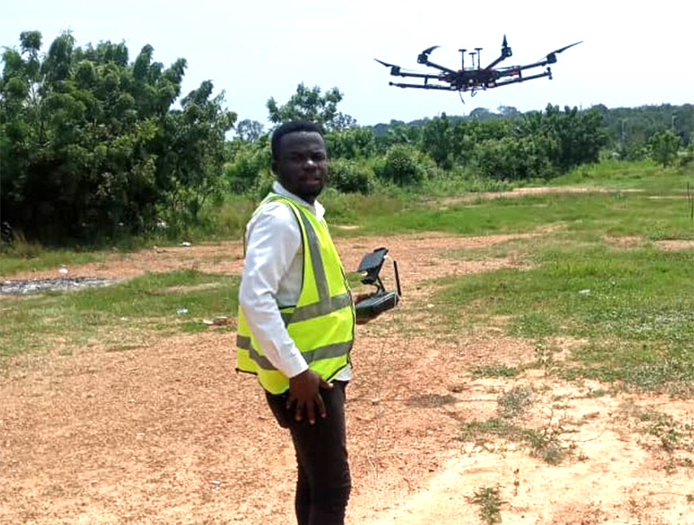
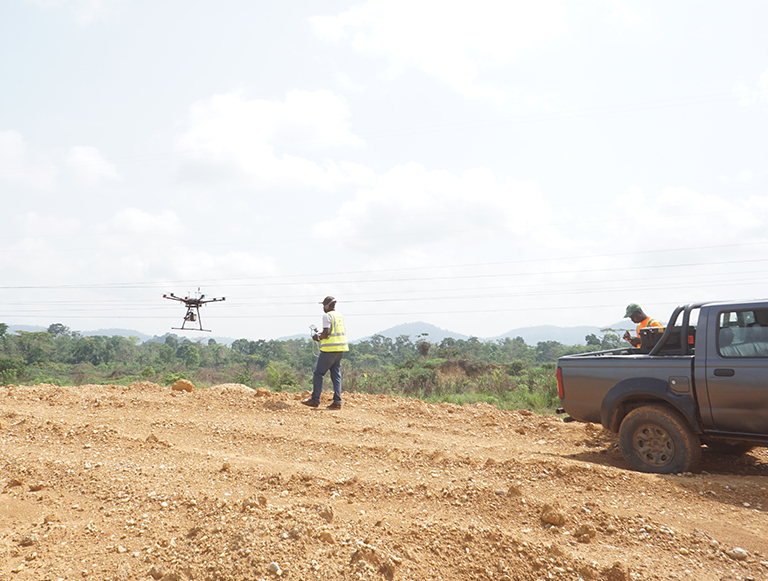
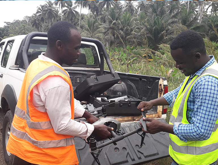
We Currently have a list of drones ranging from Phantoms, Inspire 2 , Matrice 600, we also have fix wings for mapping large area.
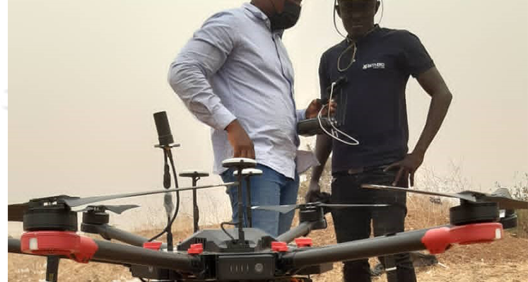
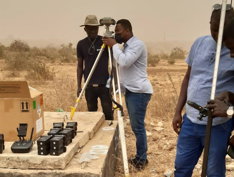
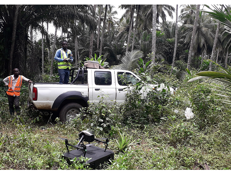
Our mapping team is unrivalled throughout Ghana. On Project basis we acquire aerial photographs using drones or aircrafts, LIDAR images, or satellite imagery to digitally capture and compile data to produce maps for various clients. We employ photogrammetric methods to generate orthophotos and topographic maps for large areas, route lines and project sites in areas where accessibility by ground methods is limited or where there are time constraints.
We also provide a Digital mapping outsourced platform for large projects for clients.

Aerial (LiDAR/Photo) and ground surveys to generate orthophoto maps, digital elevation models (DEMs) and a topographical map with 0.5m contours, for an area of approximately 15,000 ha in size, as part of feasibility and planning studies for a proposed twenty (20) megawatt power plant north of Nsawam in Ghana, funded jointly by Village Corps/Recast Energy and the U.S. Trade and Development Agency (“USTDA”). Jan 2020 to present.
Topographical Studies (Using Drones) for the Ghana Fertilizer Complex Project Sites in Bonyere, Western Region, Ghana (1150 Hectares, Split In Two Zones) For OCP Africa S. A (Aug –Sep. 2019)..
Topographical Mapping (Using Aerial Drones/Ground Control) for proposed 600km, Kumasi – Paga railway line route (Feasibility Studies) for Vision Consult/Ghana Ministry of Railways Development (February 2018 – 2019).
Lorem ipsum dolor sit amet, consectetur adipisicing elit. Doloribus, adipisci soluta, aperiam tenetur iusto nulla rerum atque nemo magni, aliquam quod ducimus neque accusamus minus.

Orthophoto, DTM, Topographical Mapping (Using Aerial Drones/Ground Control) for 5500 Ha Land in Bagamoyo, Tanzania for Photomap Ltd, Tanzania (2018).
156 Atomic-haatso Road, Haatso-Accra, Adjacent to Hallmark Int. School,
P.O Box CT 828, Cantonments,
rudan@rudanghana.net
rudanmail@yahoo.com