-

Survey Unit
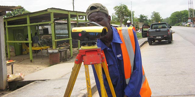
This Unit provides all types of Survey including Topographical surveys,Cadastral/Boundary/Acquisition Survey, Engineering Surveys, Hydrographic Surveys,Mining and Exploration Surveys, Ground Control Surveys, Check and Verification Surveys, Inventory Surveys, GPS surveys etc.
-
Land Titling and Management Services
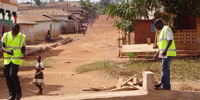
This unit provides Land Titling and Land Administration services for individuals and corporate bodies. We provide cadastral survey services to produce Site, Parcel and Master plans for individuals and corporate bodies for Land Titling. For informed decision-making necessary for finding solutions to problems related to land or land administration in general, there is clearly the need to set up a database containing land-related information. A system is designed (information technology environment) that will ensure efficient integration and distribution of land data/information to enhance its availability, accessibility, querying and use. This Unit has the capacity and capability to fully implement a Land Information System (LIS) for institutions, corporate bodies, stools, and families.
-
Mapping Unit
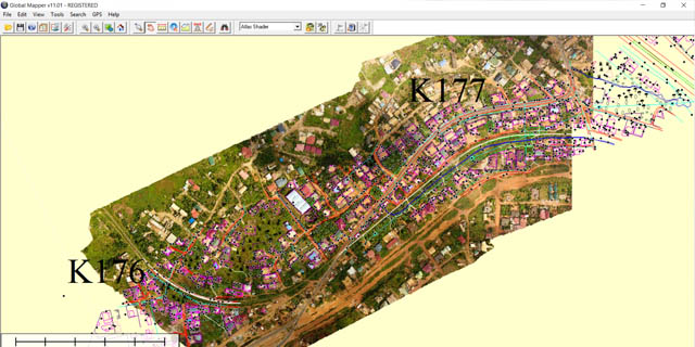
Our mapping team is unrivalled throughout Ghana. On Project basis we acquire aerial photographs, LIDAR images, or satellite imagery to digitally capture and compile data to produce maps for various clients.
We employ photogrammetric methods to generate orthophotos and topographic maps for large areas, route lines and project sites in areas where accessibility by ground methods is limited or where there are time constraints.
After capturing or obtaining basic spatial data and data base, Thematic maps can also be produced for various uses.
This Unit has over the years mapped more than 100 towns and cities in Ghana and other countries. These include various Project sites and areas, Transmission line routes , Gas Pipeline Route Forest Reserves, Water sheds, Natural Resources, Dam Sites etc.
We also provide a Digital mapping outsourced platform for large projects for clients. -
Geographic Information and ICT Services
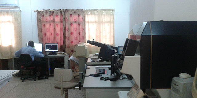
GIS is a computerised system capable of integrating, storing, editing, analysing, sharing and displaying geographically-referenced information for decision making. A GIS can be used for scientific investigations, resource management, assets management, Environmental Impact Assessment, development planning, cartography and route planning.
Our GIS Unit thus provides information in support of Engineers, Educationists, Planners and Policy makers in research, design and execution of Projects. The Unit provides services on Project basis and on Service contract for specific clients.
- Call us now +233-(0)265432387, +233-(0)244632483, 0302 - 501100
- Location Direction
Services
RUDAN ENGINEERING LTD